

I told you all that I’ve been restless and craving adventure, so when my husband proposed going to Camden Hills State park to climb Mt Megunticook, the highest mainland mountain on the Atlantic coast, I thought “Cool! Nice day, blue sky, some exercise, some fresh air, more than likely some great photo vantage points, and it being Camden, plenty of scenic ocean vistas.” I was certainly game.
We packed a picnic cooler and set out, my husband, my daughter, and me. We meandered our way to Route 1 just north of Searsport and continued south, through Belfast and into Camden. Before reaching the harbor area and downtown Camden, we arrived at the park. Camden Hills State park flanks both sides of Route 1, the ocean side and the mountain side. Nearly noon when we got to the area, we decided that it would be best to have our lunch before climbing, saving a dessert something for the top of the mountain. We pulled into the ocean side of the park, paid the entry fee ($7.00 for 2 adult Maine residents, kids free) and drove down towards the shore. We parked in the south shore access parking lot and grabbed our lunch for a short hike. When we reached the shore trail, we could see the ocean, but were a bit leary of hiking down to the water, although there were people down there. It was a bit of a steep decent and with kid and cooler and an injured knee, we thought better of it and picked one of the picnic tables in the sun. After our leisurely lunch of sandwiches, chips, and cut up veggies, we packed it up, and got back in the car to cross over to the mountain side of Route 1.

We found the hiker’s parking lot, swapped the sneakers for hiking boots and spotted the trailhead for Mt. Megunticook. The trail is rated a 2 (moderate) and is well marked with blue blazes. The wet areas have board walks over them. Many of the inclines have small steps fashioned from the stones, making the climb a bit easier at some of the steeper points. We saw many other hikers with walking sticks and thought that might be a good idea for our next trip. The pamphlet issued by the park said the trail was a mile long and would take us about an hour to summit. It was a really pleasant hike with a few rests along the way. The weather was perfect for hiking that day, sunny but relatively cool, in the low 70’s with a breeze. The bugs were minimal. I heard a buzz in my ear, but got no bites, unusual for late May, prime black fly season. Sooner than I expected, I would spot the clear blue sky indicting an opening in the tree canopy and therefore Ocean Lookout, our destination. The summit is another ½ mile climb and we were content to enjoy the view from there before heading back down. From Ocean Lookout, you can see as far as Deer Isle, North Haven Island, and out to Owl’s Head light. Spread before you is beautiful little (or so it seemed from that height) Camden Harbor.

A nice harbor village with funky little shops and restaurants, a visit to Camden, complete with blog report and photograph, is sure to be forthcoming later this summer. The Lookout is a cliff of sorts and my husband commented that when he climbed Mt Meguniticook a decade earlier (without me) birds had hung aloft at eye level. I saw four hawks of some kind floating out there.


The hike back down was pretty easy, taking us 40 minutes to reach the parking lot. Along the way, my daughter spotted this little nest, snuggly tucked in under a fallen branch on the side of the trail. The eggshell color is just beautiful!


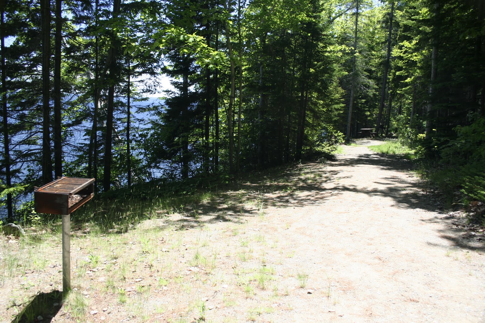
Camping facilities are available at the park. You can visit http://www.campwithme.com/ for more information and to make reservations. Within an hour’s drive of the park you can visit other state parks such at Fort Point and Moose Point state parks. You can also explore Fort Knox State Historic Site and visit the lighthouse at Owls Head.
Camden itself has a lot to offer. Check out http://www.visitcamden.com/ for more information and check back for my reviews on our visit.

More info about Maine’s state parks can be found at www.maine.gov/doc/parks
I would recommend decent hiking shoes for the hike up Mt. Megunticook and the aforementioned hiking/walking stick is a good idea, too. Of course, sunscreen and bug spray are always a good idea. Bring plenty of water, too, but if you forget, you can buy bottled water from vending machines near the park gate on the mountain side. Definately bring your camera and binoculars.
Most of all, enjoy Maine’s state parks. They really are awesome.
I’d love to hear from anyone reading this about your experiences in any of Maine’s state parks.


